This content was originally published by the Longmont Observer and is licensed under a Creative Commons license.
An intergovernmental agreement between the City of Longmont and the Denver Regional Council of Governments (DRCOG) was approved at the November 12 Longmont City Council.
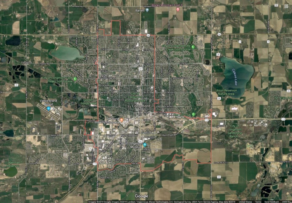
The agreement commits Longmont to participate in the 2020 Denver Regional Aerial Photography Project (DRAPP), a project that Longmont has participated in since 2004.
DRAPP takes place every two years in cities along the Front Range as a way to update the imagery to keep pace with physical changes occurring in development. Additionally, aerial imagery improves the quality of GIS mapping in Longmont.
The cities involved in the project pay a fee for the updated data. In Longmont that will be $4,900. By participating in DRAPP, the costs are kept lower than if the City were to collect this data on its own.
The funding for this project will be spent from the 2020 budget using funds from the General Fund, Water, Sewer, Storm Drainage, Electric, Streets, and Sanitation.


