This content was originally published by the Longmont Observer and is licensed under a Creative Commons license.
Forecast Discussion:
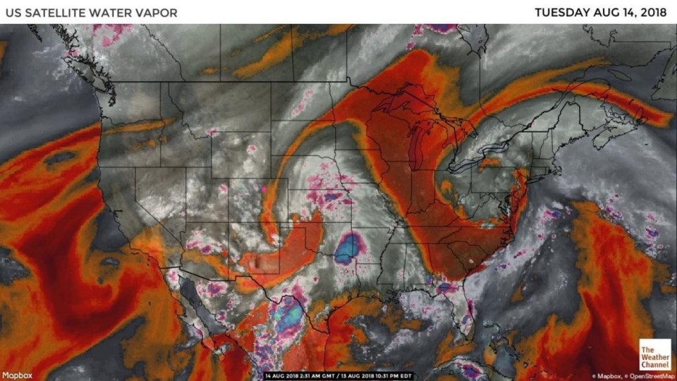
We are a weather pattern in transition now. Moisture is coming back into the western US (but it is not a lot yet). Figure 1 shows a strip of very dry air still down the plains near the Front Range foothills (us). The moisture in the western Colorado Rockies did kick off a few showers in the afternoon Monday.
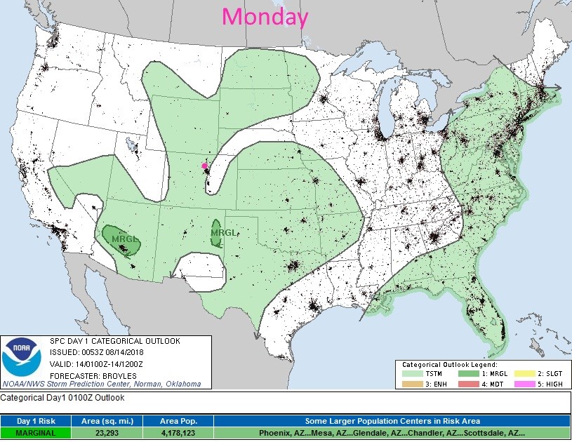
What is interesting is the severe weather and convective outlook from the SPC for Monday. Compare the pattern in Figure 2 with the satellite image of moisture in Figure 1. That same dry strip shows up as a region with no convection possible (and nothing ultimately formed).
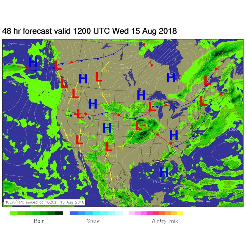
For late tonight, with a stationary front still parked up in Wyoming, we do have a bit more moisture in the mountains and a chance of showers. These 'might' drift over the I-25 communities this evening (Figure 3).
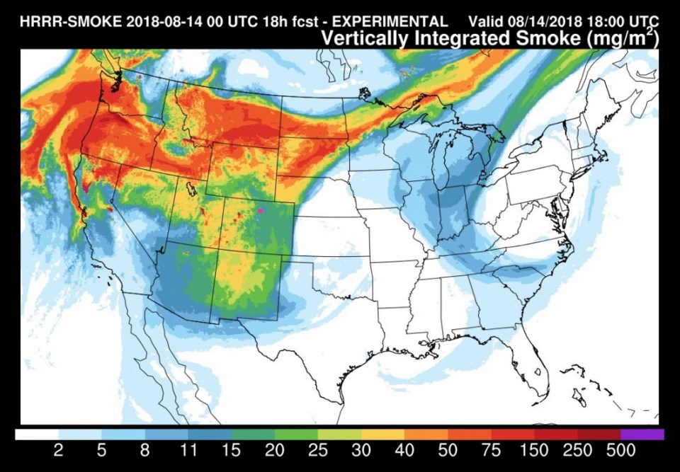
We will still have to deal with smoke. It is pouring in from the west (primarily) - though it is not as thick over Longmont today as it could be (like the northern tier of states) - Figure 4.
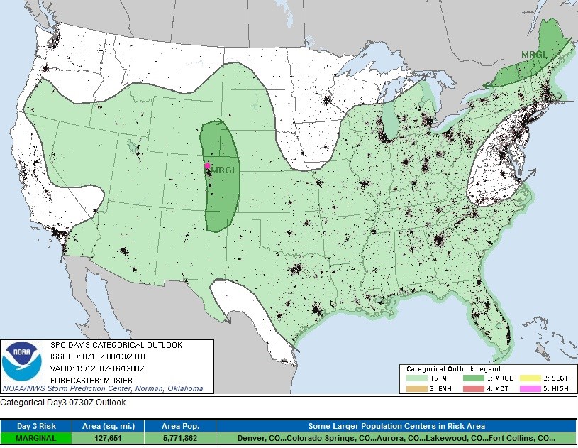
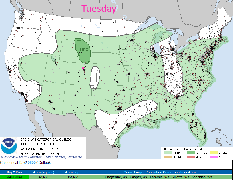
Figure 5 shows the storm and severe storm potential for today. With a bit more moisture (but with cooling caused by the weakening upper level ridge and the smoke over head) we'll see some storms possible over most of the state (except for the Kansas border) - Figure 5.
The longer range forecast:
More moisture arrives with easterly surface winds and the upper level trough gets closer to the state. That should create some severe weather along I-25 on Wednesday. More about that, and the additional rains and storms (especially the hail this weekend), and the overall cool down- tomorrow.