This content was originally published by the Longmont Observer and is licensed under a Creative Commons license.
Forecast Discussion:
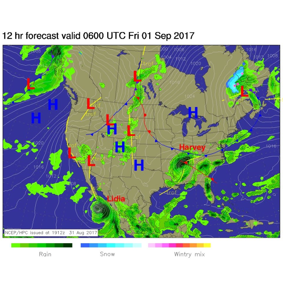
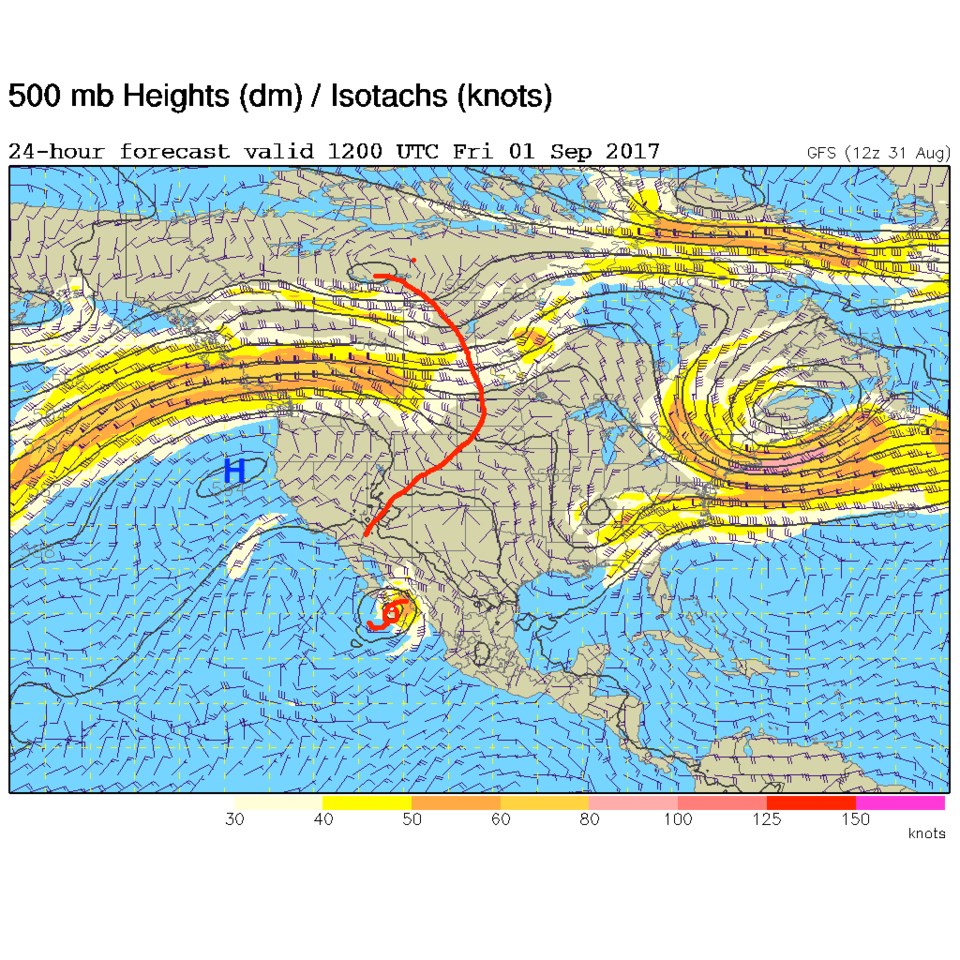
The forecast of the last few days is still right on track. Things were quiet Thursday night, but clouds were increasing and a few showers were wandering around the state. There were more up near the Wyoming border. Showers are expected across Colorado into the early hours of morning (Figure 1) before the trough, pushing the cool front along, passes and we get sinking air behind it shutting off the rain chances early Friday (see Figure 2).
In the longer range:
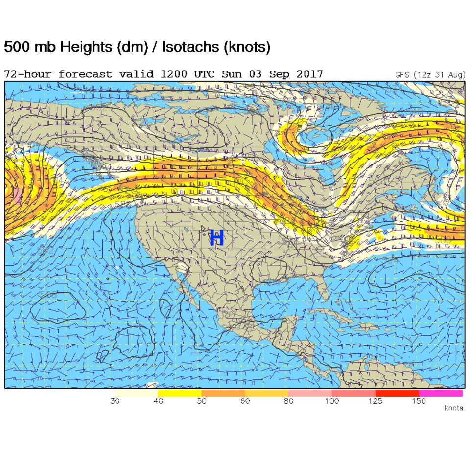
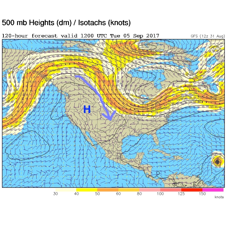
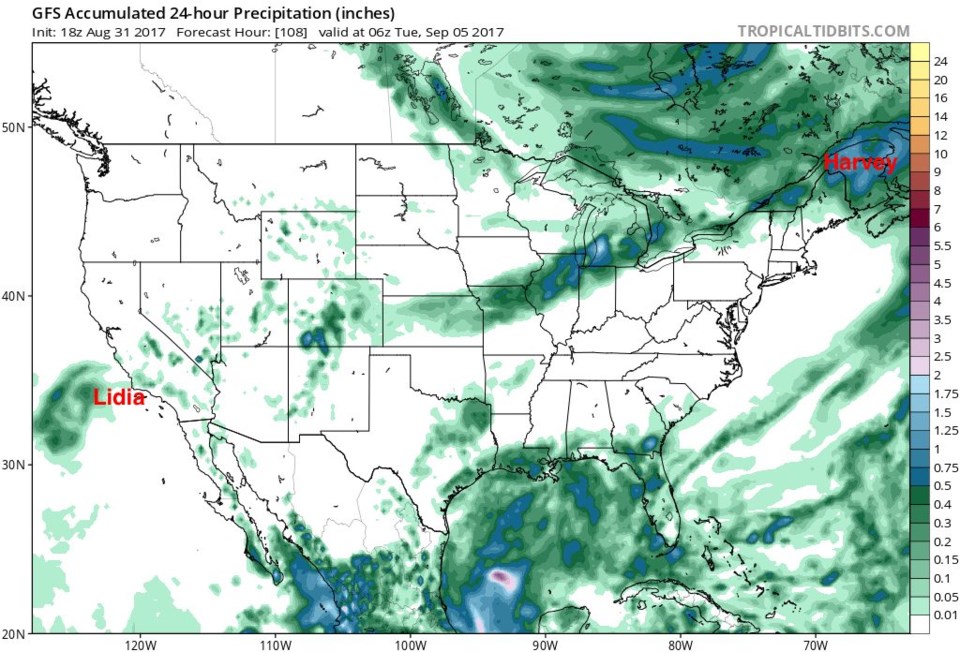
The ridge is back with a vengeance by Saturday afternoon and really getting strong on Sunday (Figure 3). The high center is right over Northern Colorado. We very well might break the record high of 95F for the date. The good news is the trough over the Great Lakes in the eastern U.S. deepens and the ridge retrogrades westward giving us a flow of Canadian air down the Plains by Tuesday and Wednesday next week (Figure 4). We may even get a bit of cooling on Monday from this change. Figure 5 shows the 24 hour precipitation accumulation Monday into Tuesday next week. The remains of both tropical systems Lidia and Harvey are still barely on the map (Harvey's remains are just exiting Maine at that time). There some precipitation over northern Colorado, but more rain over southern Colorado at the end of the Labor Day Holiday Weekend.