This content was originally published by the Longmont Observer and is licensed under a Creative Commons license.
A spooky forecast discussion:
A bit of freezing drizzle was reported in spots around Longmont this morning, but the real impact was felt in Denver, the mountains west of Denver, and up in Fort Collins. I could count the frozen droplets on our van. Not too impressive.
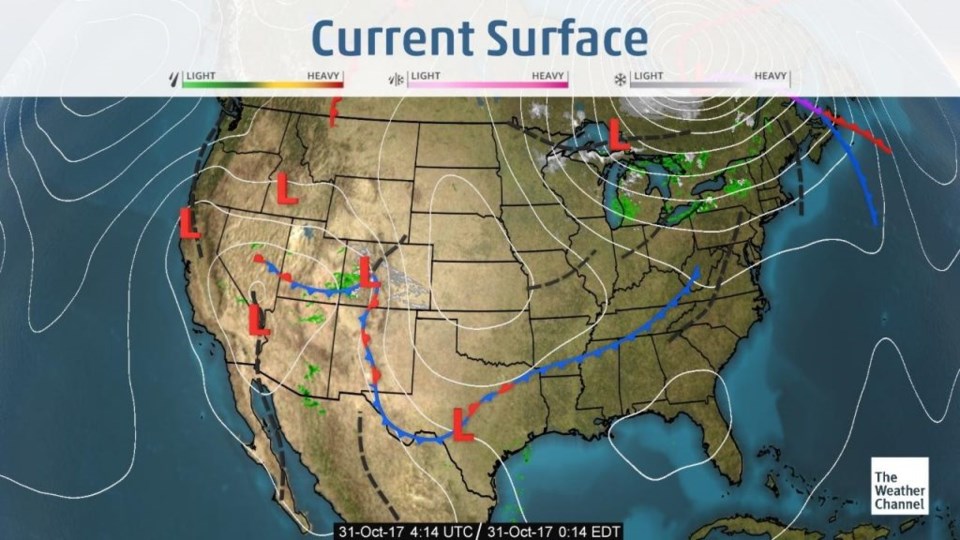
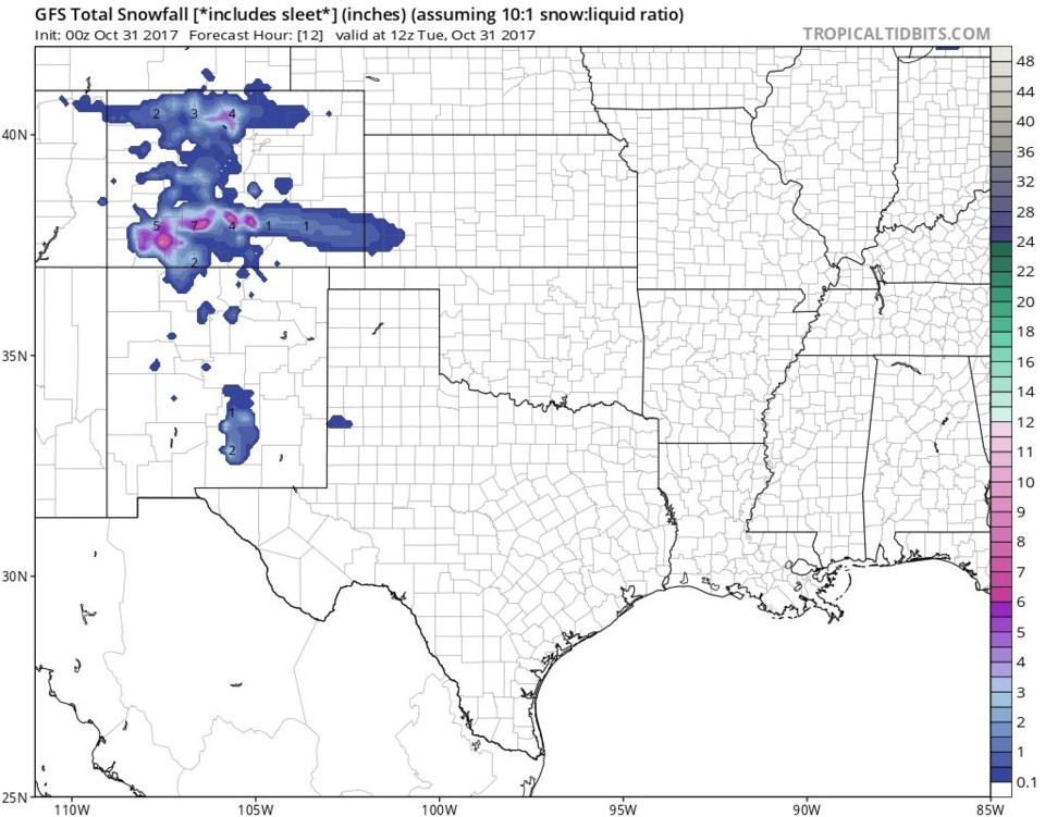
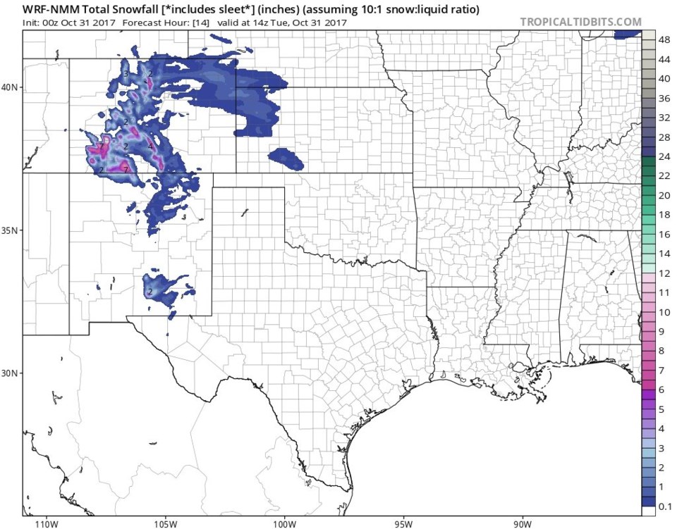
The second low, though, is tracking a bit further north than expected (Figure 1). The northern mountains and areas along I-25 including Longmont might get a bit more snow. The NWS predicts a dusting to 1/2" for us while the GFS (Figure 2) has a coating to an inch. There is 4 inches of snow in the mountains just to our west. Figure 3 is the NNM forecast that has maybe a bit more snow at 1/2" to 2".
For the Halloween night forecast:
6pm: We are at 49F with 43% relative humidity, winds from the south at 4mph. with 33% cloud cover (from wunderground.com).
9pm: We are at 41F with 59% relative humidity, winds from the south southwest at 4mph. with 39% cloud cover (from wunderground.com).
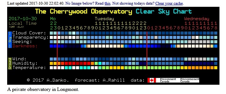
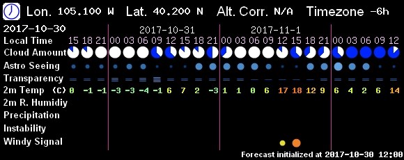
Figure 4 and 5 are sky condition forecasts (for those who want to look through the Cherrywood Observatory telescope at the corner of Cherrywood Dr. and Cherrywood Way).
Figure 4 is from http://www.cleardarksky.com/ and predicts very clear skies during Halloween night.
Figure 5 is from http://202.127.24.18/ and has mostly cloudy skies clearing to 1/2 cloudy later in the evening.
In the longer range:
We still go to very seasonable and boring weather right away mid-week and into the weekend. Then another cold storm approaches for the start of next week. Details later!


