Skip to content

The Next Storm/Next Snow Forecast Discussion from the Cherrywood Observatory – November 12, 2017

This content was originally published by the Longmont Observer and is licensed under a Creative Commons license.

Forecast Discussion:

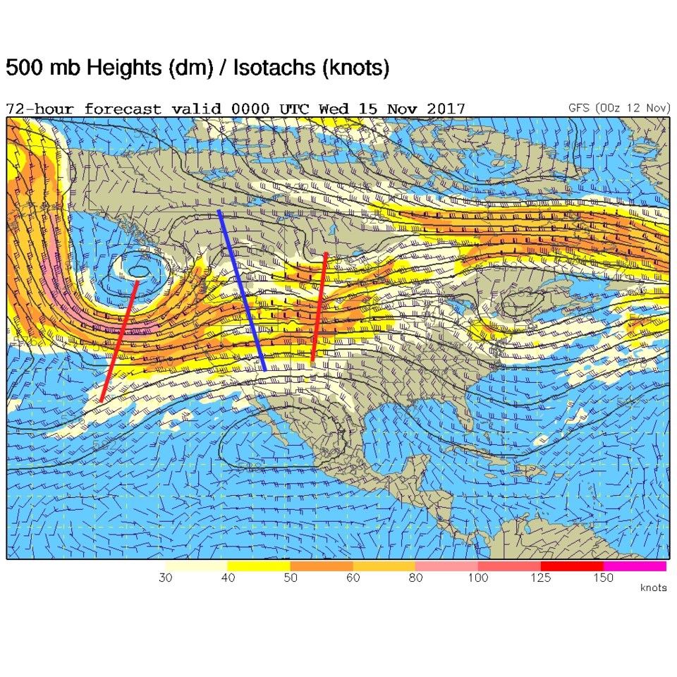
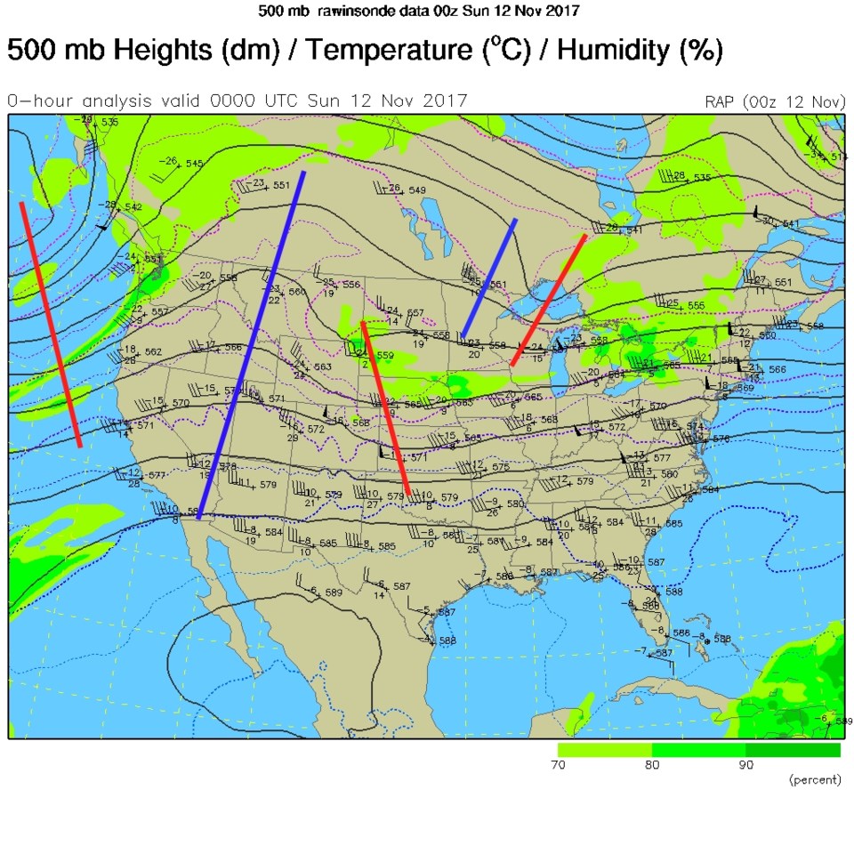
Saturday was a near picture perfect day for Veterans Day.  We saw very mild temperatures, very little wind, and just a few clouds.  There is a weak cold front moving into the state Saturday PM and Sunday AM (Figure 1). This is in response to a small short wave trough moving through the pretty strong westerly jet stream flow over the state all this week (the red line in Figure 2).

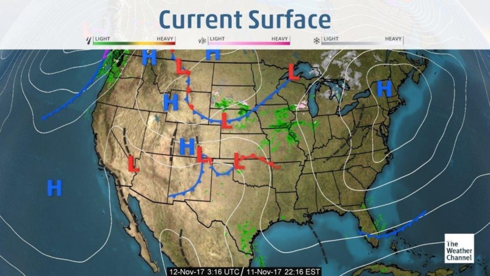
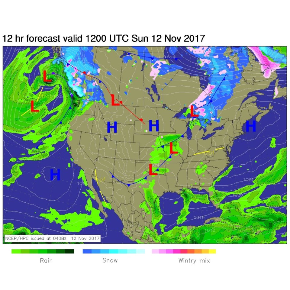
By midday today (Sunday- Figure 3) the front will be far to the south and we'll see weather about 10 degrees cooler than we did on Sunday.  Sadly, this is a very dry front.

Figure 1: Current surface map from late Saturday PM (the weather channel).

Figure 2: The current 500mb upper air map late Saturday PM.

Figure 3: Surface forecast map for midday Sunday from NCEP.

The longer range forecast:

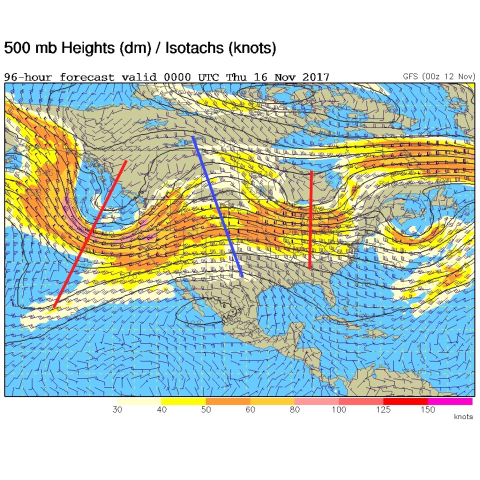
Another weak trough will move over the state on Tuesday. This will kick up some winds (more up in the mountains) and cool us just a bit.  Still, it will be very dry (Figure 4). The very next day another ridge (blue line) is overhead and the front is gone (Figure 5).  The deeper trough out west will move through on Thursday and bring down yet another front, but that one may have enough moisture to bring snow and rain showers to the mountains (not much on the Plains at this time). We'll watch that to see if it might put water down on Longmont.

Figure 4: 500mb upper air forecast map for Tuesday PM from the GFS.

Figure 5: 500mb upper air forecast map for Wednesday PM from the GFS.

Current Weather

Clear

Clear

52°F

UV Index
0 Low
Pressure
29.71 Falling
Visibility
8 miles
Dewpoint
44 °F
Humidity
74%
Wind
NNW 3.8 mph
Gust
8.8 mph
Wind Chill
52 °F

Hourly Forecast

Today
3 AM
48°F
Mostly clear
Today
4 AM
45°F
Clear
Today
5 AM
43°F
Mostly clear
Today
6 AM
41°F
Mostly clear
Today
7 AM
45°F
Partly sunny
Today
8 AM
52°F
Partly sunny
Today
9 AM
59°F
Partly sunny
Today
10 AM
65°F
Intermittent clouds
Today
11 AM
71°F
Intermittent clouds
Today
12 PM
75°F
Intermittent clouds
Today
1 PM
77°F
Intermittent clouds
Today
2 PM
75°F
Thunderstorms

7 Day Forecast

Mostly sunny

Wednesday

75 °F

Mostly sunny, pleasant and warmer


Partly cloudy

Wednesday Night

41 °F

Patchy clouds


Mostly cloudy w/ t-storms

Thursday

77 °F

Turning cloudy, warm; breezy, a stray thunderstorm this afternoon


Thunderstorms

Thursday Night

47 °F

A thunderstorm in spots this evening; otherwise, considerable cloudiness


Thunderstorms

Friday

69 °F

Mostly cloudy and not as warm with a couple of thundershowers


Thunderstorms

Friday Night

44 °F

Cloudy with a couple of thundershowers


Rain

Saturday

46 °F

Chilly with periods of rain and a thunderstorm


Rain and snow

Saturday Night

39 °F

Cloudy with rain, mixed with a little snow late


Mostly cloudy

Sunday

59 °F

Mostly cloudy and warmer; a stray afternoon thundershower


Partly cloudy

Sunday Night

36 °F

Partly cloudy


Sunrise and Sunset

Sunrise
6:08 AM
Sunset
7:49 PM

Based on AccuWeather data