This content was originally published by the Longmont Observer and is licensed under a Creative Commons license.
In Brief:
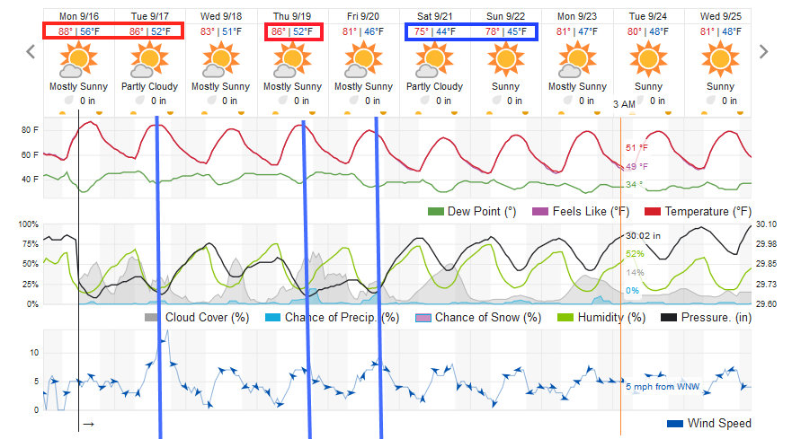
We say goodby to upper 80'sF after Tuesday. A pretty strong cold front slides across Colorado Tuesday afternoon/evening. The western slopes will see rain and thundershowers over the next week, but the eastern Plains won't see much. The higher elevations will pick up a bit of snow over the next 5 days; really up high, and just a bit.
Forecast Discussion:
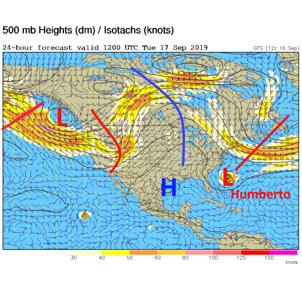
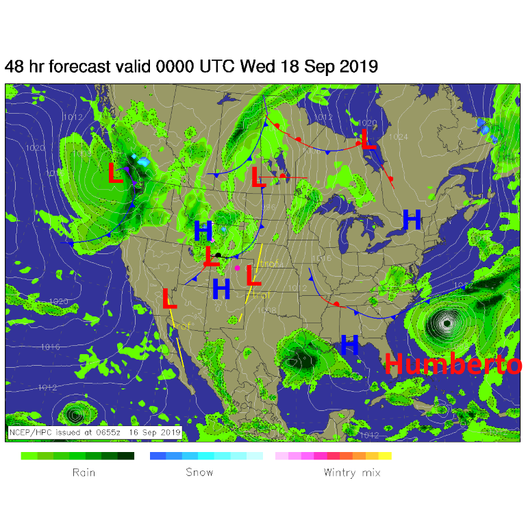
The pattern change that is bringing in more Fall-like weather is visible as the trough coming in on the West Coast and the low center off the coast of Canada (Figure 1). This first short wave will usher in a cold front that is visible sweeping out of Wyoming later today (Tuesday - Figure 2, and the first blue lie in Figure 4).
The Longer Range Forecast:
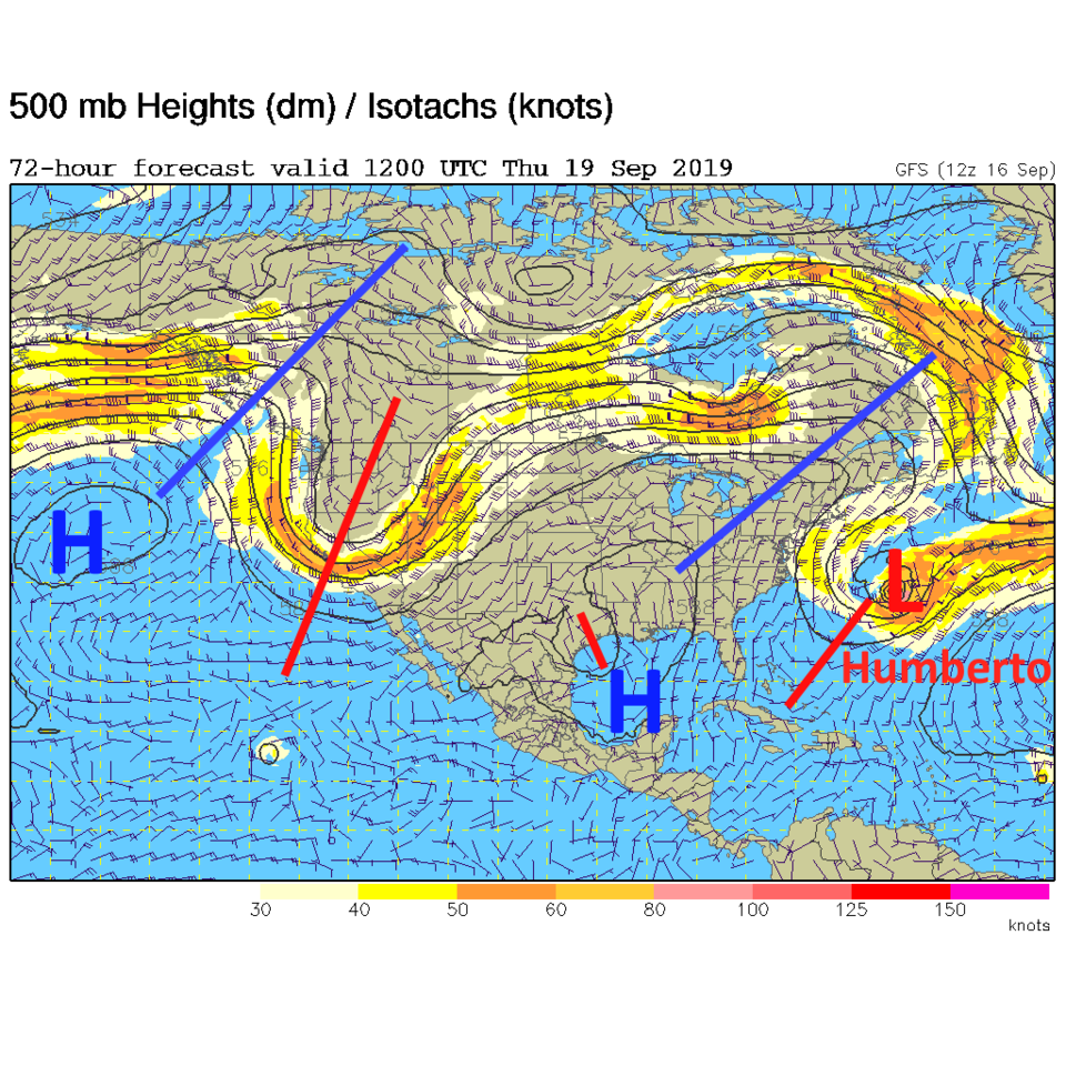
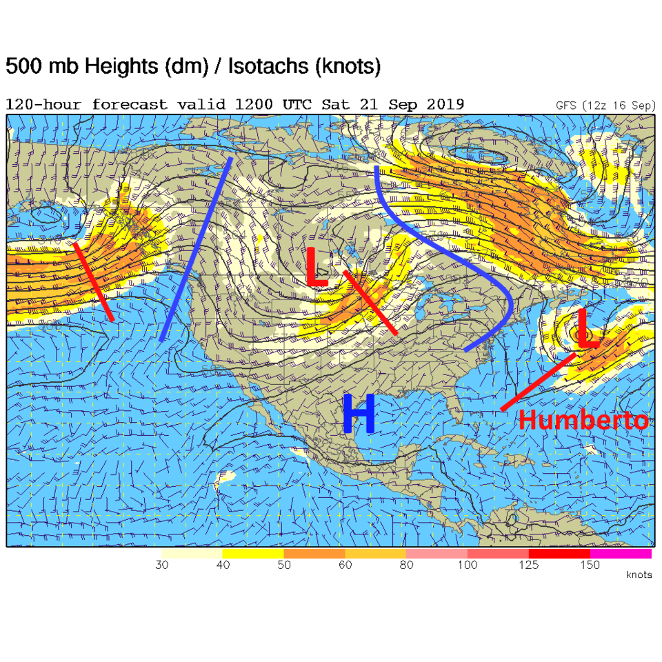
Wednesday we drop to lower 80'sF then another cold front Thursday (pushed in by another deep trough - Figure 3) gives us a small chance of showers and another cool down (from mid 80'sF) to first 80F Friday and then another front (another trough - Figure 4) and a cool down to about
75 F temperatures for the weekend (Figure 5).
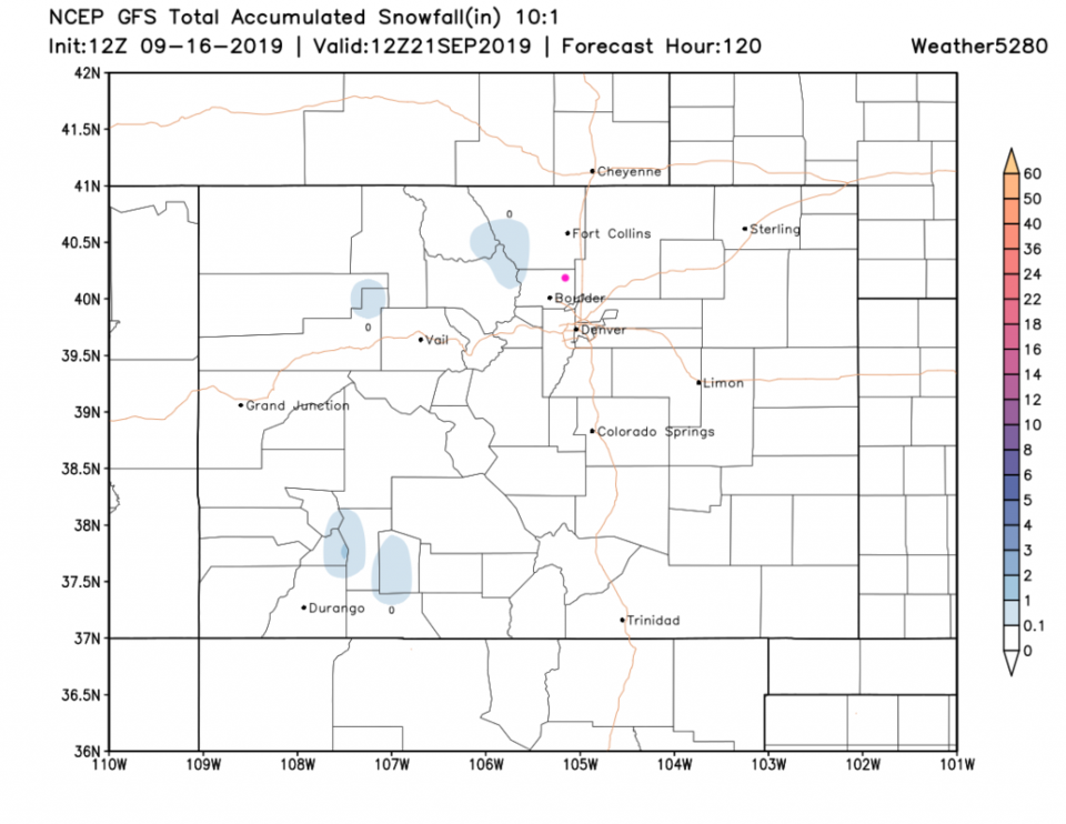
Just for fun, the higher elevations should see a dusting of snow over the next 5 days (Figure 6). Can coats, sledding, and Christmas presents be far off...?
You can also say goodbye to hurricane Humberto out in the Atlantic, if you wish (Figures 1,2,3,4).