This content was originally published by the Longmont Observer and is licensed under a Creative Commons license.
Forecast Discussion:
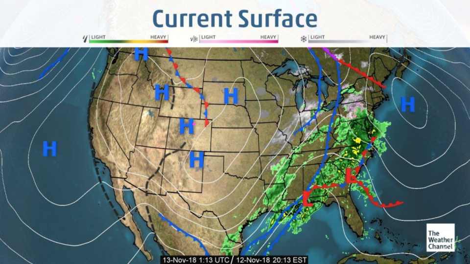
Our storm has roared eastward leaving very cold air in its wake (Figure 1). Monday we saw temperatures about 25°F below normal. Today we'll only be about 7 degrees below normal. Tomorrow we are back to normal (mid 50's F for a high).
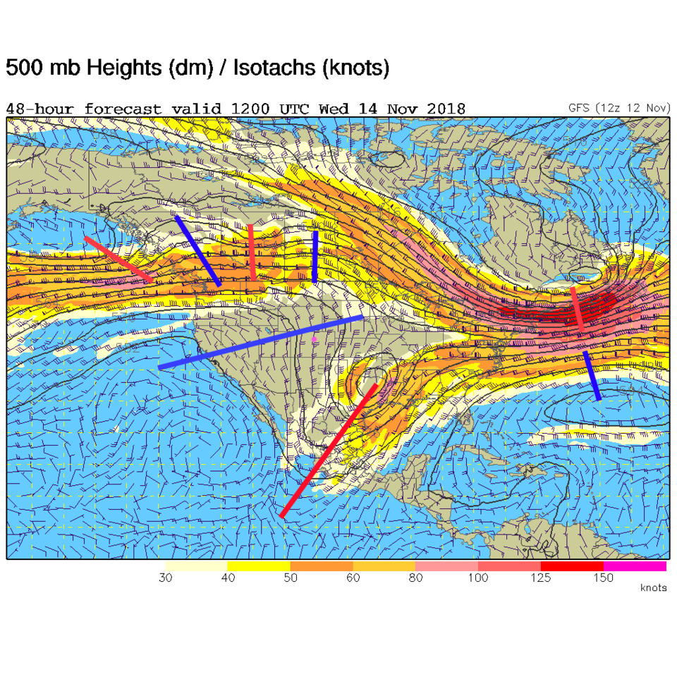
For tonight, the trough of our past storm is deep down into Texas and a ridge is building in quickly form the west. That will also decrease the terrible fire-blasting winds in California (Figure 2).
The longer range forecast:
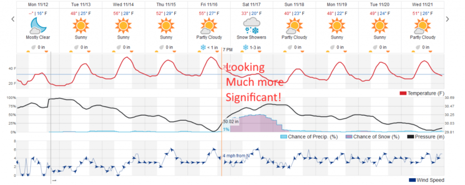
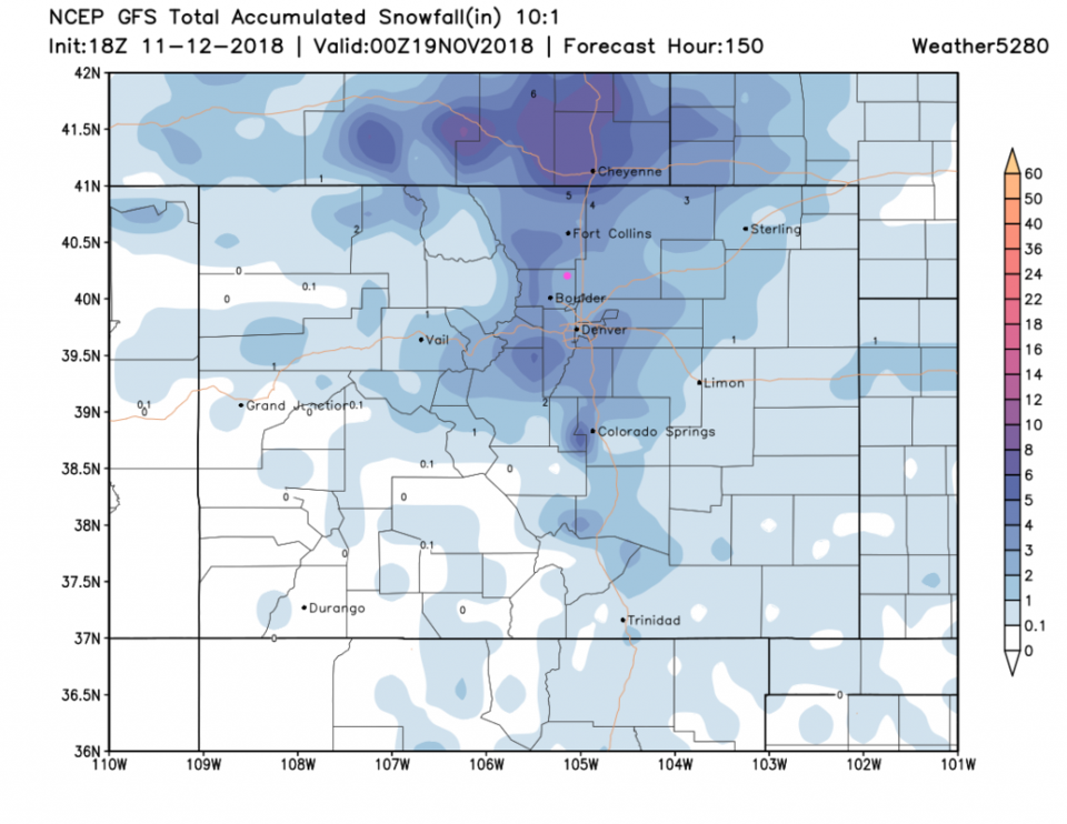
If you look back a day, you'll see that next Saturday was just a cool blip on the radar. Today, a more major storm is in the offing (Figure 3). This seems to give us 2-4 inches of snow on the weatherunderground model. Taking a look at the storm totals from the GSF through Sunday p.m. (Figure 4); we are in the 2-3" zone on that model (but this is still many days off). We'll keep an eye on it!