This content was originally published by the Longmont Observer and is licensed under a Creative Commons license.
In Brief:
Temperatures 15-20F above normal are the norm for a couple more days with high pressure stacked up through the atmosphere. Friday, a deep trough moves in kicking off storms and cooling us to below normal levels and returning a chance of rain for much of next week.
Forecast Discussion:
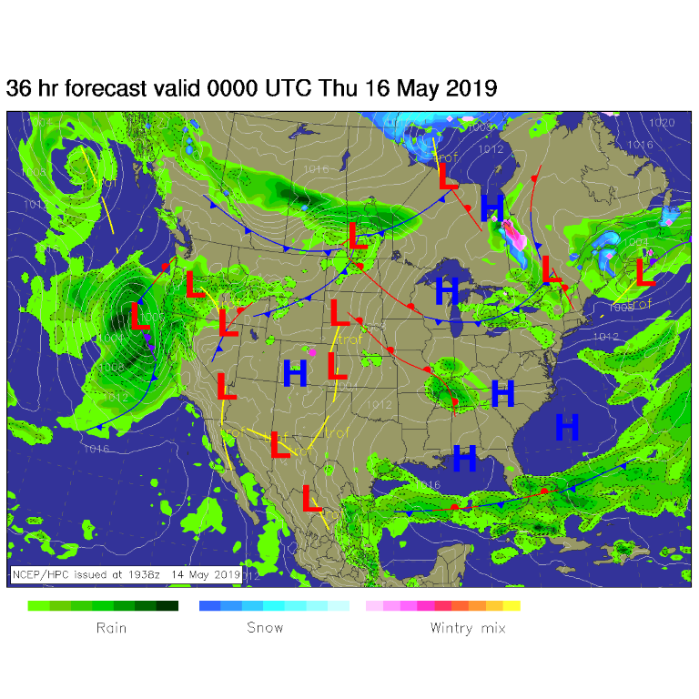
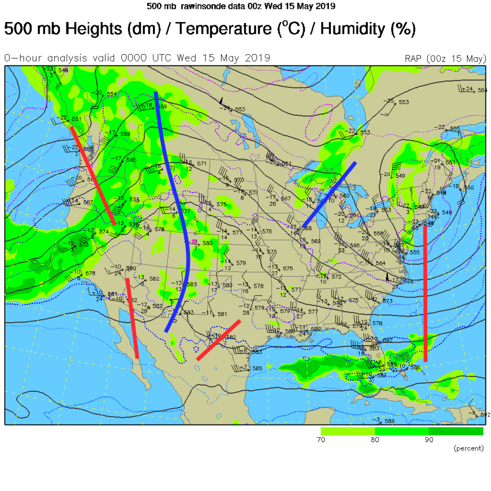
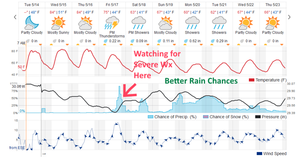
We have high pressure over the state today and weak winds (Figure 1). Overhead in the upper atmospheric map (Figure 2) the center of the ridge line is almost overhead. This will past to the east today changing the flow aloft from northwest flow to a southwest flow. That changes the drift direction of the afternoon storms that move off the mountains and warms us a bit more (Figure 3). There is a chance of afternoon thunder showers everyday around time of maximum heating (2-5pm).
The Longer Range Forecast:
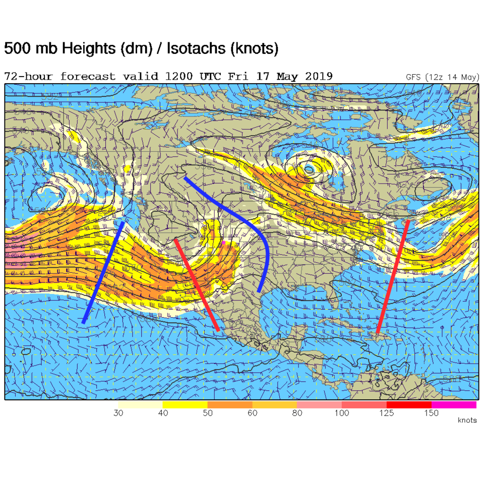
Friday we see the change occur with a deep trough moving in from the west (red line digging towards us in Figure 4). We'll keep an eye on the amount of moisture that can make it in by Friday to see IF we may see severe weather nearby (Figure 3). From Saturday on into next week we hover in the 60'sF for highs with many chances for rain again. More later!