This content was originally published by the Longmont Observer and is licensed under a Creative Commons license.
In Brief:
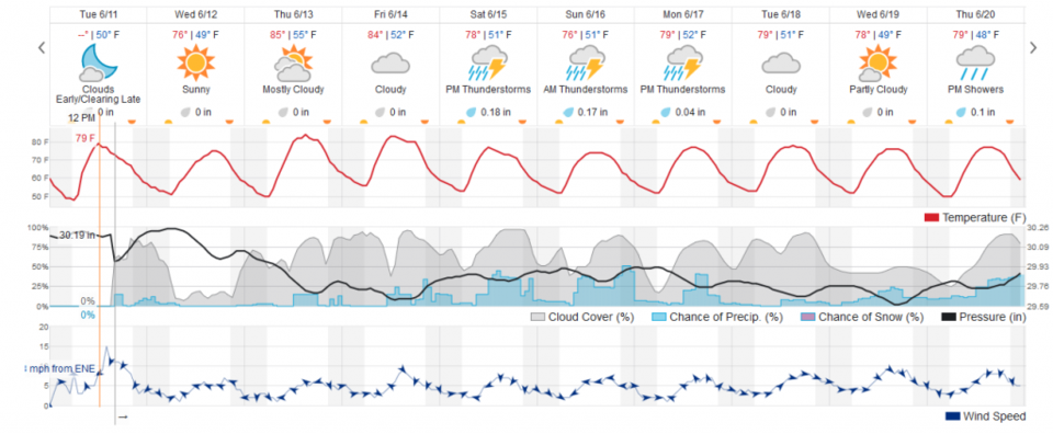
Today will be clear and dry (Wednesday). Clouds increase through the rest of the week with increasing afternoon storm chances each day until the weekend when afternoon storm chances get a bit greater. We stay near 80F for the next week as well (a bit warmer Thur/Fri, a bit cooler Sunday).
Forecast Discussion:
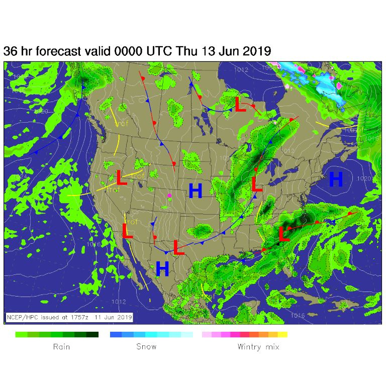
There are no nearby storm systems today (Wednesday). We are high and dry with just a few afternoon mountain showers off to the west (Figure 1).
Simple and straightforward.
The Longer Range Forecast:
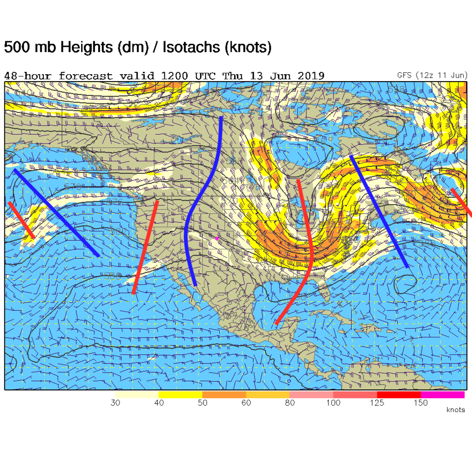
We warm to the mid 80'sF over the next couple of days as a ridge aloft passes over (Figure 2). The ridge is the blue line in figure 3.
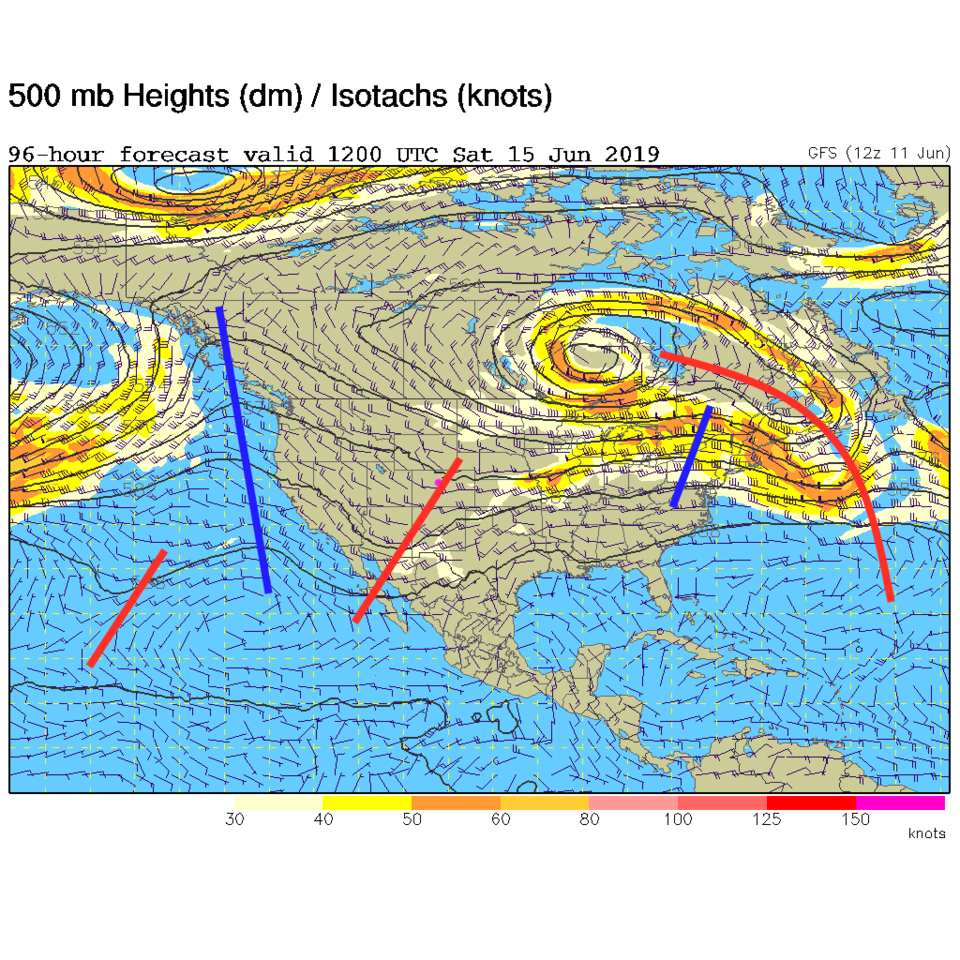
By the weekend (Figure 4) that ridge is replace by a trough (red line) that means cooler temperatures and better afternoon storm chances with colder air aloft (Figure 2). There aren't headlines here except - overall nice weather is here!