This content was originally published by the Longmont Observer and is licensed under a Creative Commons license.
In Brief:
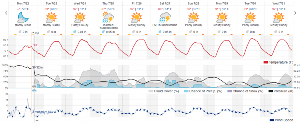
We return to normal (or a bit below normal) temperatures Tuesday and on into next week. With monsoon/tropical moisture sitting around, afternoon thunderstorms over our very moist state are a possibility every day.
Forecast Discussion:
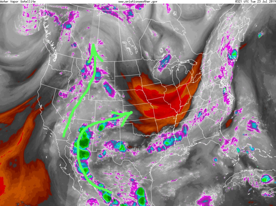
Monsoon (or moisture flow from the tropics/Gulf of Mexico and Gulf of California) moisture is drifting around (Figure 1) a high pressure system over the four corners areas. This will lead to a chance of afternoon storms every day - starting in the mountains and drifting southeast (Figure 2).
Temperatures will be just about average for this time of year beginning today (Tuesday - Figure 2).
The Longer Range Forecast:
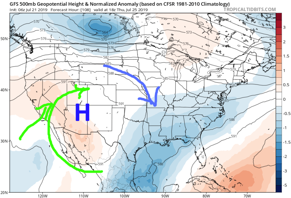
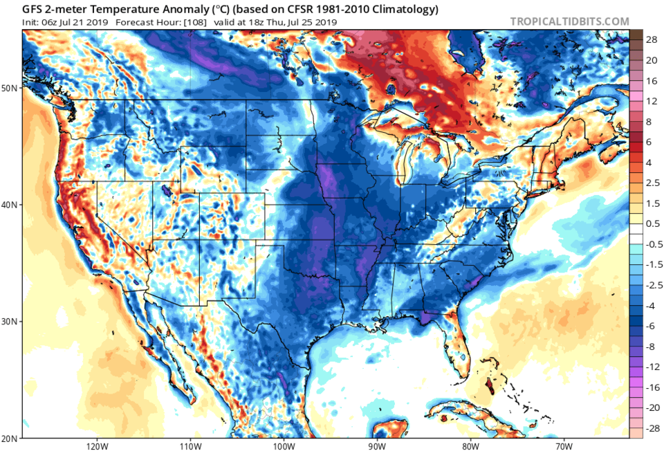
The high over the southwest will drift VERY slowly deeper down into the southwest as the week wears on. This will keep some moisture drifting in (green arrows - Figure 3) and abnormally cool air filtering down into the central U.S. (Figure 4). This will be a strange end of July for much of the U.S. and we are on the edge of this cool-ish air.
I'm off on ANOTHER business trip - so I'll need to 'cover a few days at a time' again. I'll be watching the state from San Francisco this time... gotta pack that suitcase again.