This content was originally published by the Longmont Observer and is licensed under a Creative Commons license.
Forecast Discussion:
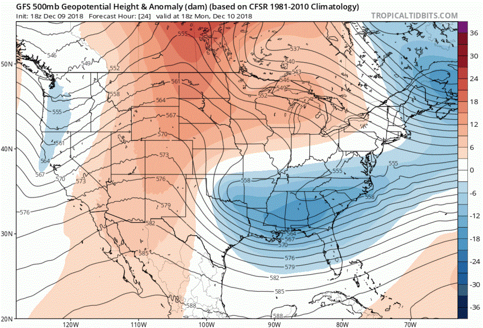
Oh so quiet and dry. Figure 1 shows a weak lee trough over the I-25 corridor (just tells the direction that wind is blowing, not much more 'weather' is happening with it). High pressure will keep us abnormally warm and dry.
The longer range forecast:
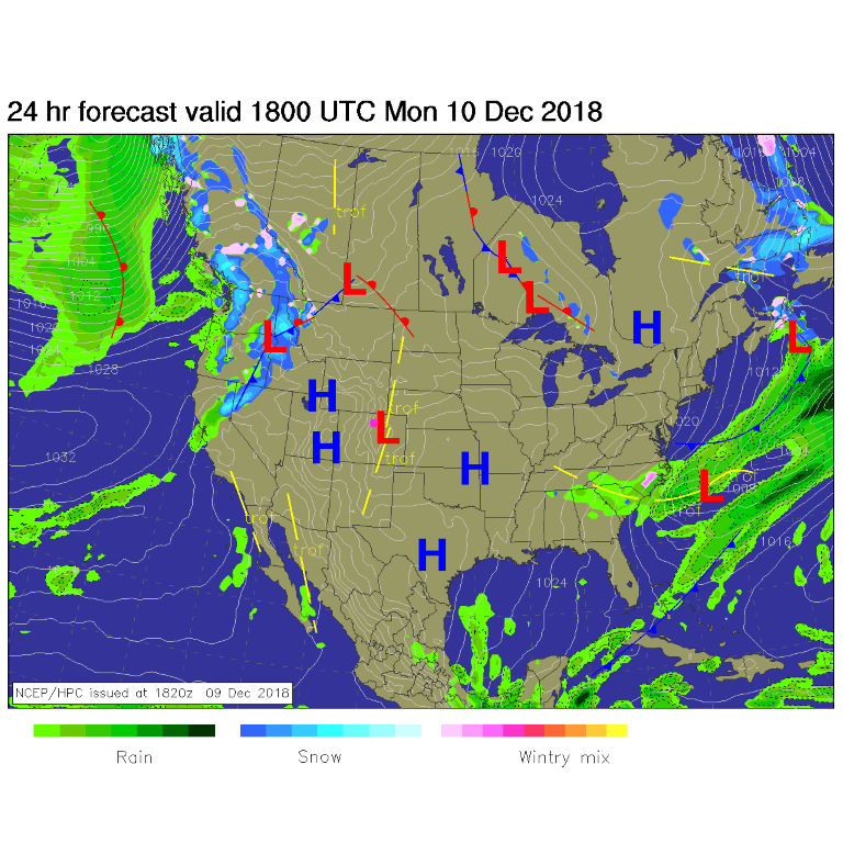
Figure 2 is the upper air pattern for the next 10 days showing a ridge over the western U.S. for most of the time. There is a trough Wednesday/Thursday, but it will remain dry on the eastern side of the Rockies. The western slopes and higher elevations will get snow now and then. A nearly ideal winter?
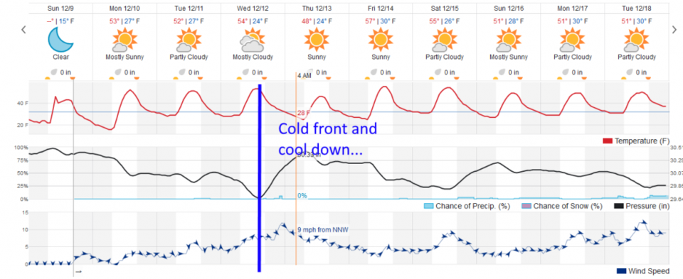
Figure 3 is the 10 day graphic and it shows that Wednesday/Thursday cold front, but only a 6% chance of showers for 20 minutes in the late night Wednesday. Nothing notable.
Sorry things aren't more exciting!