This content was originally published by the Longmont Observer and is licensed under a Creative Commons license.
In Brief:
We ride a roller coaster temperature-wise this week. We stay dry through Thursday morning with (in these runs) at least three cold fronts of note. We are cool Tuesday (and not so much at the end of the week, as it appeared a few days ago. We have real heat before the cool-down on Sunday - pushing close to 100F.
Forecast Discussion:
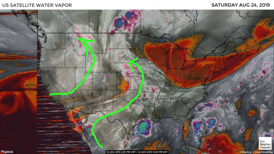
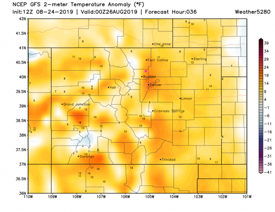
Moisture is now far from the state (Figure 1) and a transient ridge will bake us on Sunday. Temperatures will be up to 12-15F above normal around Longmont (Figure 3).
Relief is visible up in the Pacific northwest with an approaching cold front (Figure 2). We are dry and hot today, then we cool down but stay mostly dry into Tuesday.
The Longer Range Forecast:
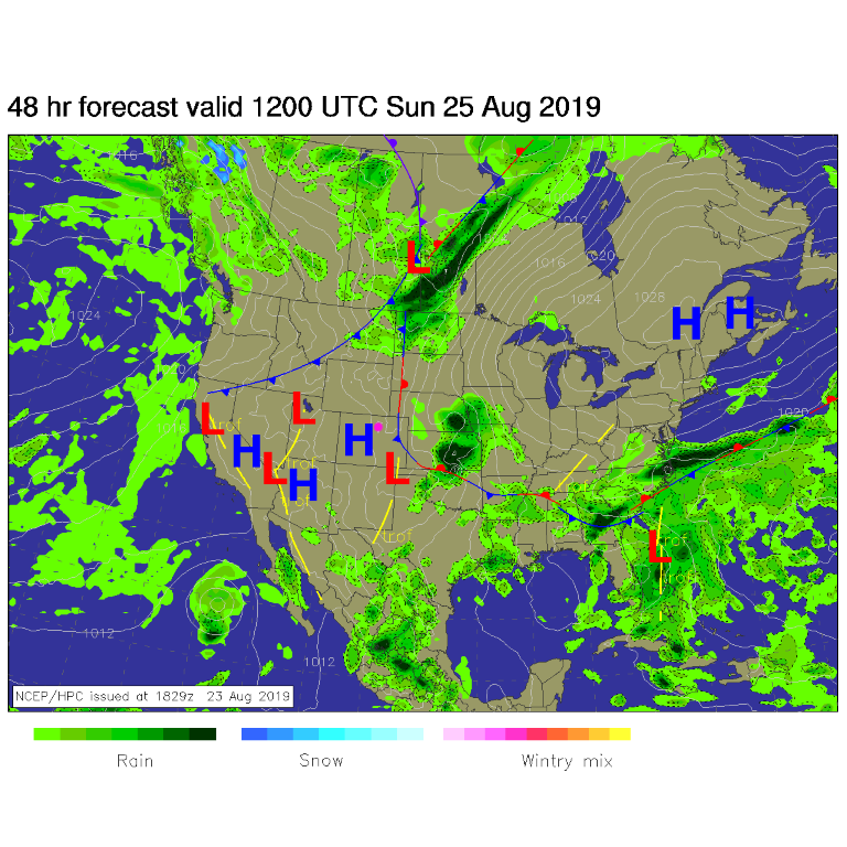
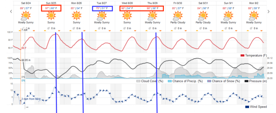
Models differ and model runs differ every few hours, but this snapshot of the long range forecast has a cold front Sunday and Monday afternoons and another on Thursday. The BIG cool down at the end of the week is not visible on the weatherunderground model run - but is still not impossible (Figure 4).