This content was originally published by the Longmont Observer and is licensed under a Creative Commons license.
Forecast Discussion:
The front came through Thursday morning as advertised and temperatures hovered in the 40'sF. Clouds increased in the afternoon as mountain snows began to pick up (hurray for the mountains!). Our chance of rain showers, changing to snow, picked up after 6pm and should end by 4am Friday (a few hours after this post goes live).
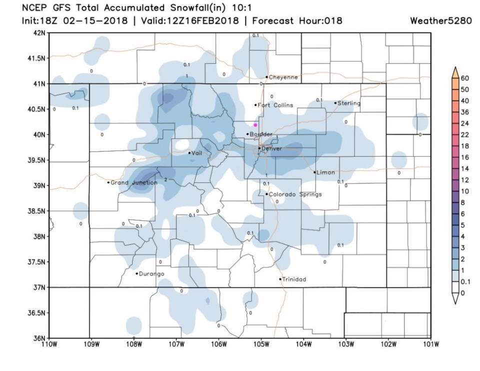
The GFS gives us a coating to maybe a lucky inch of snow before dawn today (Figure 1).
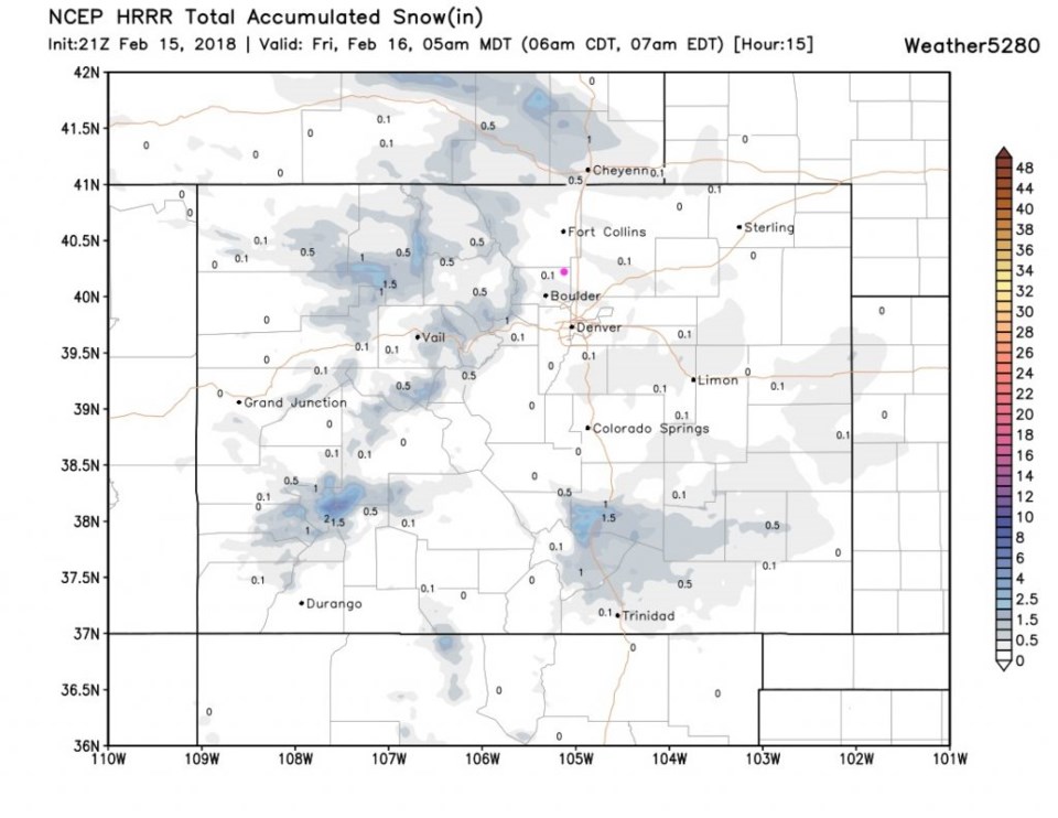
The HRRR gives a dusting to maybe a coating by dawn (Figure 2). Again, not an exciting storm for the low lands. Denver might see an inch or two (by the GFS).
The longer range forecast:
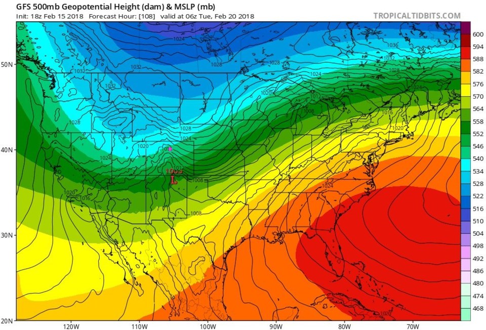
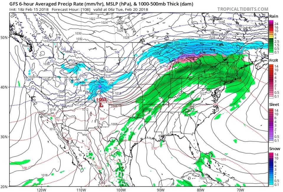
We rapidly return to the 50's and then 60'sF for the weekend (nice!) before the Monday storm moves in. The highs on Monday may only be in the lower 20'sF. Figure 3 is the 500mb upper air forecast map for Monday night. You can see (in the bands of color) the big trough in the west. We are on the uphill, stormy, side of the "U" shape. Figure 4 is the surface precipitation map with good mountain and NE Plains snow in Colorado. Some model runs give us 3-5" of snow on this storm, but we've been promised that sooo many times before...